WEATHER ALERT
ENVIRONMENT CANADA
*************************
Winter storm watch in effect for:
- Fraserdale - Pledger Lake
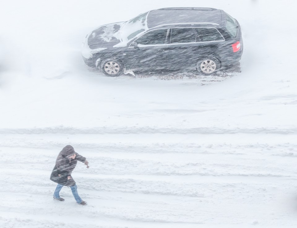
Winter storm conditions expected tonight through Wednesday.
Hazards:
Snowfall accumulations of 20 to 30 cm by Wednesday evening.
Northwesterly winds gusting to 70 km/h resulting in local blowing snow Wednesday afternoon into Wednesday evening.
Timing:
This evening through Wednesday evening.
Discussion:
Snow will intensify this evening from Geraldton to Nakina and overnight for Ogoki Post to Fort Albany and Attawapiskat. Snow will gradually taper from west to east on Wednesday, though gusty northwesterly winds will result in local blowing snow and reduced visibility Wednesday afternoon into Wednesday evening.
Rapidly accumulating snow could make travel difficult over some locations. Travel is expected to be hazardous due to reduced visibility in some locations. If you must travel, keep others informed of your schedule and destination and carry an emergency kit and mobile phone. Public Safety Canada encourages everyone to make an emergency plan and get an emergency kit with drinking water, food, medicine, a first-aid kit and a flashlight. For information on emergency plans and kits go to http://www.getprepared.gc.ca.
Please continue to monitor alerts and forecasts issued by Environment Canada. To report severe weather, send an email to [email protected] or tweet reports using #ONStorm.
*************************


