WEATHER ALERT
ENVIRONMENT CANADA
*******************************
Extreme Cold Warning in effect for:
• Gogama - Foleyet
• Little Abitibi - Kesagami Lake
• Timmins - Cochrane - Iroquois Falls
• Kirkland Lake - Englehart
• Fraserdale - Pledger Lake
• Kapuskasing - Hearst - Smooth Rock Falls
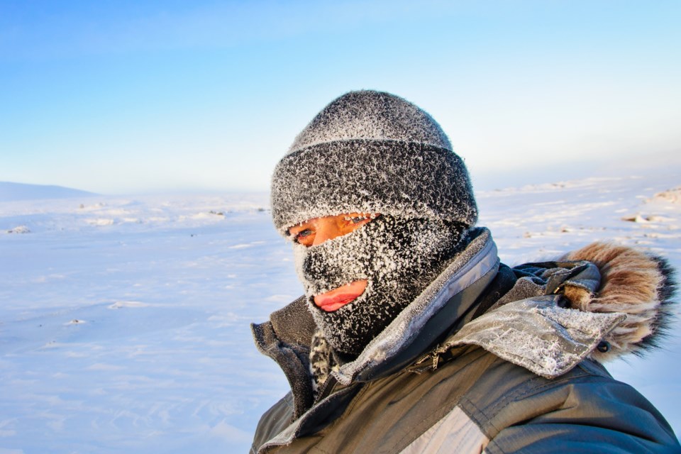
A period of very cold wind chills is expected.
Extreme wind chill values near minus 40 are expected tonight into Thursday morning.
The extreme cold may continue into the weekend with wind chill values approaching minus 40 each night.
Extreme cold puts everyone at risk.
Watch for cold related symptoms: shortness of breath, chest pain, muscle pain and weakness, numbness and colour change in fingers and toes.
Dress warmly. Dress in layers that you can remove if you get too warm. The outer layer should be wind resistant.
If it's too cold for you to stay outside, it's too cold for your pet to stay outside.
Please continue to monitor alerts and forecasts issued by Environment Canada. To report severe weather, send an email to [email protected] or tweet reports using #ONStorm.
*******************************
