NEWS RELEASE
ENVIRONMENT CANADA
*************************
Severe thunderstorm watch issued for:
- Timmins - Cochrane - Iroquois Falls
Current details:
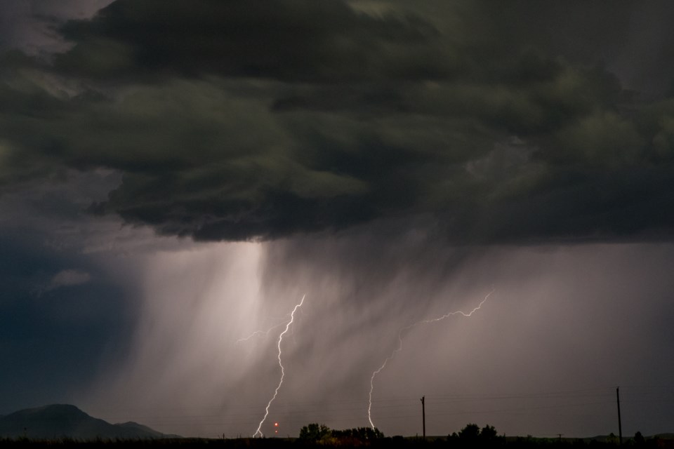
Thunderstorms are developing across portions of northeastern Ontario this afternoon ahead of an approaching cold front. Some of these thunderstorms will have the potential to produce damaging wind gusts to 90 km/h. Hail is also possible.
The threat of severe thunderstorms will diminish this evening.
Very strong wind gusts can damage buildings, down trees and blow large vehicles off the road.
Lightning kills and injures Canadians every year. Remember, when thunder roars, go indoors!
The Office of the Fire Marshal and Emergency Management recommends that you take cover immediately if threatening weather approaches.
Severe thunderstorm watches are issued when atmospheric conditions are favourable for the development of thunderstorms that could produce one or more of the following: large hail, damaging winds, torrential rainfall.
Please continue to monitor alerts and forecasts issued by Environment Canada. To report severe weather, send an email to [email protected] or tweet reports using #ONStorm.
For more information, please click here.
*************************


