WEATHER ALERT
ENVIRONMENT CANADA
*************************
Snowfall warning in effect for:
- Little Abitibi - Kesagami Lake
- Timmins - Cochrane - Iroquois Falls
- Kirkland Lake - Englehart
- Temiskaming Shores - Temagami
- Fraserdale - Pledger Lake
- Kapuskasing - Hearst - Smooth Rock Falls
- Gogama - Foleyet
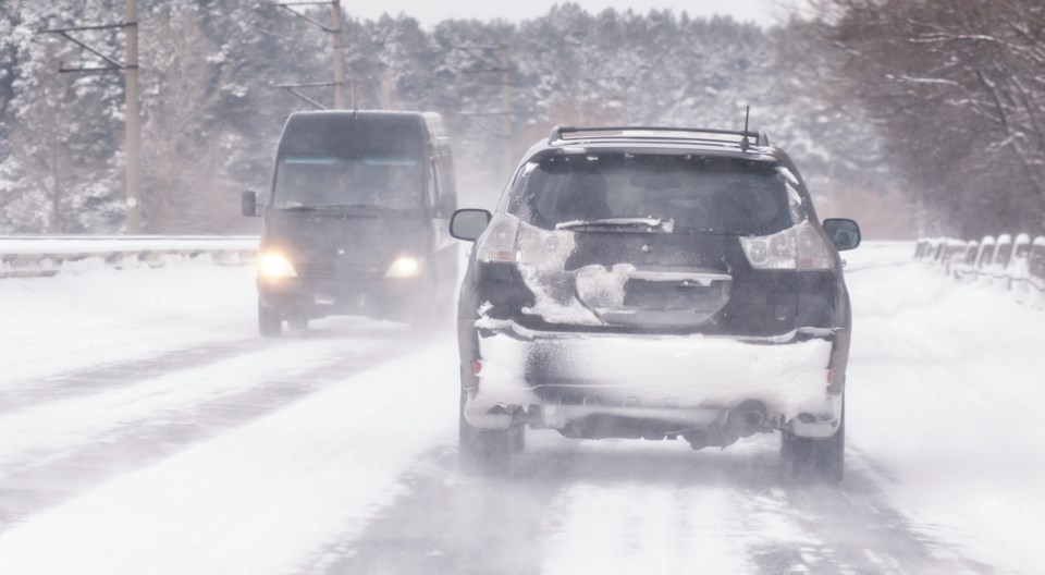
Snowfall with total amounts of 15 to 25 cm is expected.
Snow will continue to spread north early this morning. The heaviest snow is likely late this morning through this evening. Northerly winds will combine with the snow to create blowing and drifting snow over exposed areas. Low visibility in heavy snow and blowing snow will create hazardous travel conditions.
Snowfall amounts should be highest near the Quebec border. Gradually the snow should taper to flurries on Friday.
Be prepared to adjust your driving with changing road conditions. Rapidly accumulating snow will make travel difficult.
Please continue to monitor alerts and forecasts issued by Environment Canada. To report severe weather, send an email to [email protected] or tweet reports using #ONStorm.
*************************


