WEATHER ALERT
ENVIRONMENT CANADA
*************************
Special weather statement in effect for:
- Little Abitibi - Kesagami Lake
- Timmins - Cochrane - Iroquois Falls
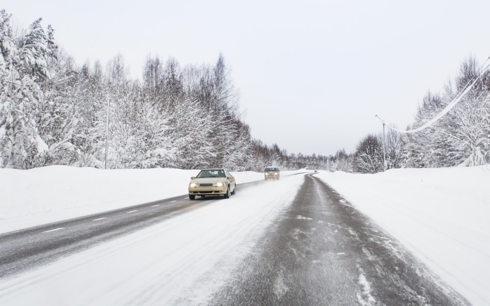
Snow squalls are possible on Wednesday with more widespread snowfall developing Wednesday night into Thursday.
Snow squalls along a cold front are possible beginning early Wednesday morning. Localized snowfall amounts near Lake Superior may reach up to 10 centimetres, however further inland lesser amounts are expected. Visibilities may be suddenly reduced as the snow squalls move through the region.
Snow squalls will come to an end Wednesday evening, however a developing low pressure system will bring significant snowfall to the region Wednesday night into Thursday. Total snowfall amounts of 10 to 15 cm are expected with this system.
Environment and Climate Change Canada is closely monitoring the situation and will issue additional messages if required.
Please continue to monitor alerts and forecasts issued by Environment Canada. To report severe weather, send an email to [email protected] or tweet reports using #ONStorm.
*************************


