WEATHER ALERT
ENVIRONMENT CANADA
*************************
Special weather statement in effect for:
- Timmins - Cochrane - Iroquois Falls
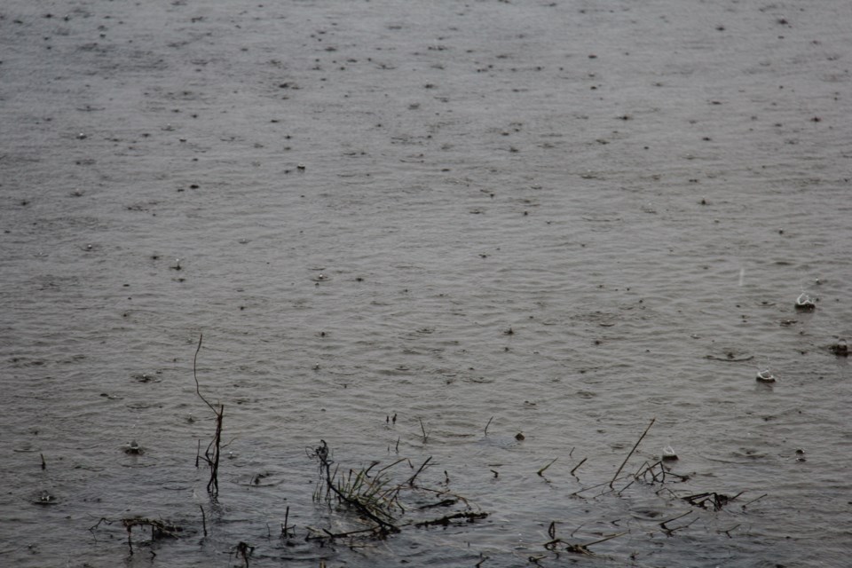
Significant rainfall possible over parts of northeastern Ontario tonight through Tuesday night.
Rain is expected to begin today over areas to the east of Lake Superior and spread to the east and northeast tonight. General rainfall amounts of 30 to 40 mm are likely in a swath from north of Sault Ste. Marie to Timmins. Localized higher amounts could reach 60 mm by Wednesday morning.
This rainfall is associated with a slow-moving low-pressure system approaching from the US Midwest.
Environment Canada continues to monitor the situation. Rainfall warnings may be issued as necessary. Rainfall warnings are issued when 50 mm in 24 hours is expected.
Please continue to monitor alerts and forecasts issued by Environment Canada. To report severe weather, send an email to [email protected] or tweet reports using #ONStorm.
*************************


