WEATHER ALERT
ENVIRONMENT CANADA
*************************
Severe thunderstorm watch in effect for:
- Little Abitibi - Kesagami Lake
- Timmins - Cochrane - Iroquois Falls
- Kirkland Lake - Englehart
- Temiskaming Shores - Temagami
- Fraserdale - Pledger Lake
- Kapuskasing - Hearst - Smooth Rock Falls
- Chapleau - Missinaibi Lake
- Gogama - Foleyet
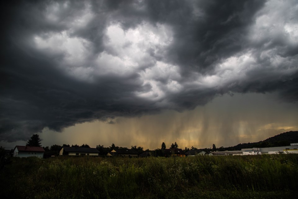
Conditions are favourable for the development of severe thunderstorms that may be capable of producing strong wind gusts and large hail.
Hazards:
- damaging wind gusts to 110 km/h
- up to toonie sized hail
- slight risk of a tornado
Timing:
This afternoon into this evening
Locations:
Portions of Northeastern Ontario including Gogama, Kirkland Lake, Timmins and Temiskaming Shores
Large hail can damage property and cause injury. Strong wind gusts can toss loose objects, damage weak buildings, break branches off trees and overturn large vehicles. Lightning kills and injures Canadians every year. Remember, when thunder roars, go indoors!
Severe thunderstorm watches are issued when atmospheric conditions are favourable for the development of thunderstorms that could produce one or more of the following: large hail, damaging winds, torrential rainfall.
The Office of the Fire Marshal and Emergency Management recommends that you take cover immediately if threatening weather approaches.
Please continue to monitor alerts and forecasts issued by Environment Canada. To report severe weather, send an email to [email protected] or tweet reports using #ONStorm.
For more information: http://www.emergencymanagementontario.ca/english/beprepared/beprepared.html.
Persons in or near this area should be on the lookout for adverse weather conditions and take necessary safety precautions. Watch for updated statements.
Please refer to the latest public forecasts for further details and continue to monitor the situation through your local radio and television stations or Weatheradio.
*************************


