WEATHER ALERT
ENVIRONMENT CANADA
*************************
Special weather statement in effect for:
- Little Abitibi - Kesagami Lake
- Timmins - Cochrane - Iroquois Falls
Much colder air with snow or freezing rain on the way.
Rain will change to snow over northern portions of Northeastern Ontario on Thursday as a sharp cold front moves through the area.
Current indications suggest that the greatest snowfall amounts are likely from Chapleau to Timmins and Kirkland Lake where 10 to 15 cm are possible by Friday morning.
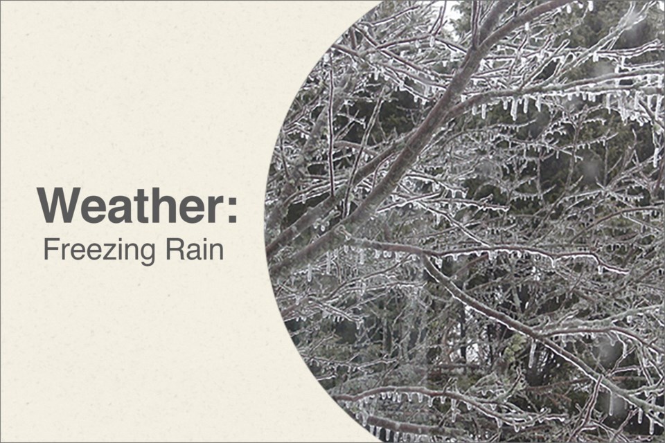
Also, a band of freezing rain and ice pellets is expected to develop as temperatures drop behind the cold front Thursday night.
Several hours of freezing rain are possible as the band located from Chapleau to Kirkland Lake Thursday evening moves southward to Sudbury and North Bay Friday morning.
Travel may become difficult at times due to winter driving conditions that could include icy roads, reduced visibility, and rapidly accumulating snow.
Environment Canada will continue to monitor this developing situation closely. Snowfall and freezing rain warnings may be issued once conditions become more certain.
The public is advised to monitor future forecasts and warnings as warnings may be required or extended.
*************************


