WEATHER ALERT
ENVIRONMENT CANADA
*************************
Extreme Cold Warning in effect for:
- Little Abitibi - Kesagami Lake
- Timmins - Cochrane - Iroquois Falls
- Fraserdale - Pledger Lake
- Kapuskasing - Hearst - Smooth Rock Falls
- Chapleau - Missinaibi Lake
- Gogama - Foleyet
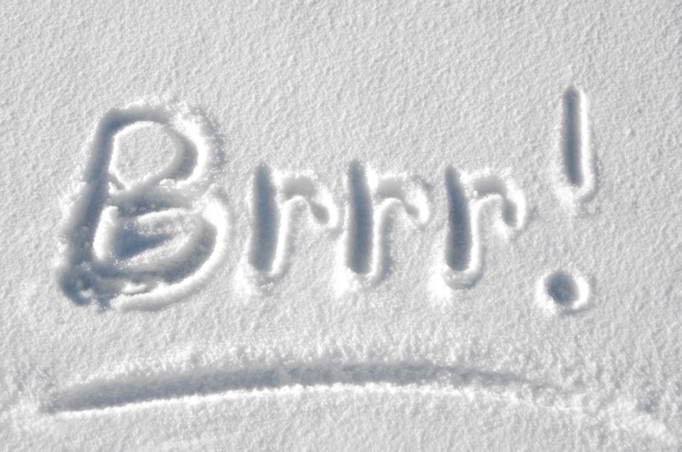
A multi-day episode of very cold wind chills continues.
Hazard:
Wind chill values of minus 40 to minus 45.
Timing:
Continuing through Saturday morning.
Discussion:
Wind chill values of minus 40 to minus 45 will continue this morning. Temperatures will moderate during the day, bringing some relief from the extreme cold. Wind chill values of minus 40 to minus 45 are expected once again tonight into Saturday morning for some areas. Temperatures will moderate through the day on Saturday bringing an end to the extreme cold spell.
Risks are greater for young children, older adults, people with chronic illnesses, people working or exercising outdoors, and those without proper shelter.
Watch for cold related symptoms: shortness of breath, chest pain, muscle pain and weakness, numbness and colour change in fingers and toes.
Cover up. Frostbite can develop within minutes on exposed skin, especially with wind chill.
Check on older family, friends and neighbours.
If it's too cold for you to stay outside, it's too cold for your pet to stay outside.
Please continue to monitor alerts and forecasts issued by Environment Canada. To report severe weather, send an email to [email protected] or tweet reports using #ONStorm.
*************************


