ENVIRONMENT CANADA
*************************
Extreme Cold Warning in effect for:
- Little Abitibi - Kesagami Lake
- Timmins - Cochrane - Iroquois Falls
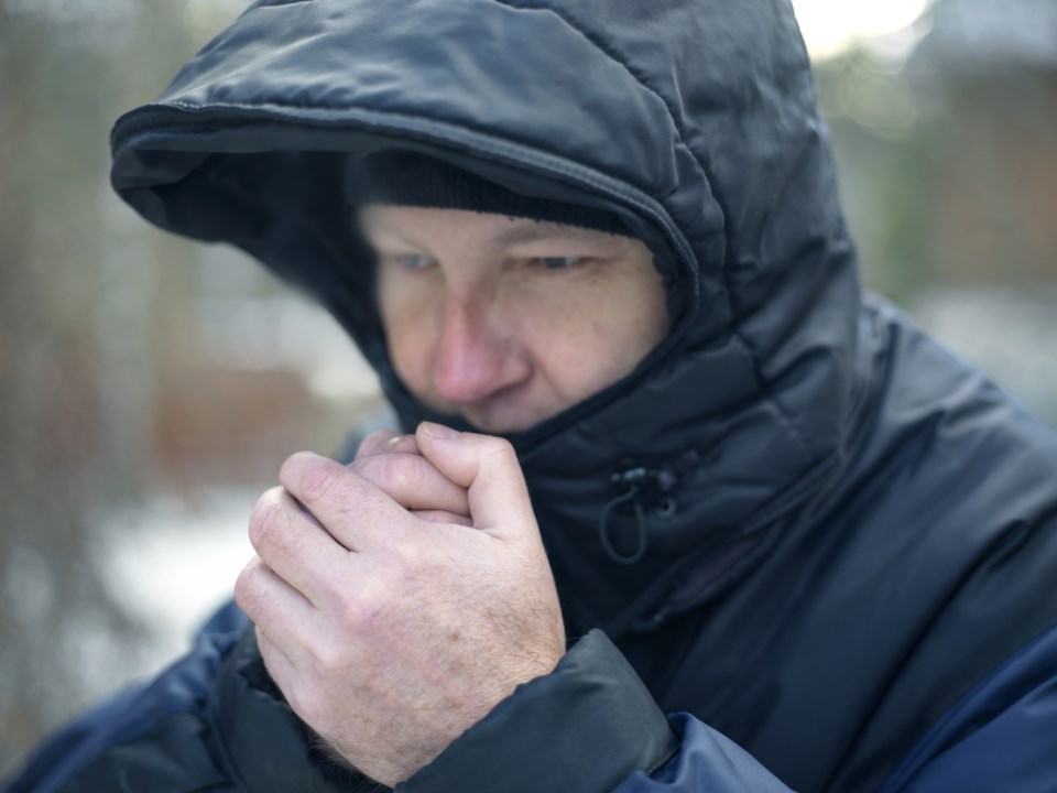
A multi-day episode of very cold wind chills is expected.
Wind chill values will drop to minus 40 again tonight into Friday morning.
The extreme cold may continue into the weekend with wind chill values approaching minus 40 each night.
Extreme cold puts everyone at risk.
Risks are greater for young children, older adults, people with chronic illnesses, people working or exercising outdoors, and those without proper shelter.
Dress warmly. Dress in layers that you can remove if you get too warm. The outer layer should be wind resistant.
Cover up. Frostbite can develop within minutes on exposed skin, especially with wind chill.
If it's too cold for you to stay outside, it's too cold for your pet to stay outside.
Extreme cold warnings are issued when very cold temperatures or wind chill creates an elevated risk to health such as frost bite and hypothermia.
Please continue to monitor alerts and forecasts issued by Environment Canada. To report severe weather, send an email to [email protected] or tweet reports using #ONStorm.


