WEATHER ALERT
ENVIRONMENT CANADA
*********************************
Severe thunderstorm watch in effect for:
• Timmins - Cochrane - Iroquois Falls
• Kirkland Lake - Englehart
• Kapuskasing - Hearst - Smooth Rock Falls
• Chapleau - Missinaibi Lake
• Gogama - Foleyet
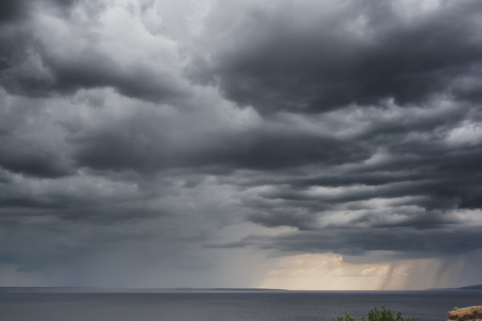
Conditions are favourable for the development of dangerous thunderstorms that may be capable of producing damaging wind gusts, large hail and heavy rain.
Hazards:
Wind gusts near 90 km/h
Nickel size hail
Heavy rain
Timing:
This afternoon into this evening
Discussion:
Thunderstorms are expected today. Some of these thunderstorms may become severe with strong winds, large hail and heavy rain. Tornadoes also can not be ruled out. The potential for severe thunderstorms will come to an end this evening with the passage of a cold front.
Large hail can damage property and cause injury. Very strong wind gusts can damage buildings, down trees and blow large vehicles off the road. Remember, severe thunderstorms can produce tornadoes. Lightning kills and injures Canadians every year. Remember, when thunder roars, go indoors!
Severe thunderstorm watches are issued when atmospheric conditions are favourable for the development of thunderstorms that could produce one or more of the following: large hail, damaging winds, torrential rainfall.
The Office of the Fire Marshal and Emergency Management recommends that you take cover immediately if threatening weather approaches.
Please continue to monitor alerts and forecasts issued by Environment Canada. To report severe weather, send an email to [email protected] or tweet reports using #ONStorm.
*********************************


