WEATHER ALERT
ENVIRONMENT CANADA
*************************
Special weather statement in effect for:
- Timmins - Cochrane - Iroquois Falls
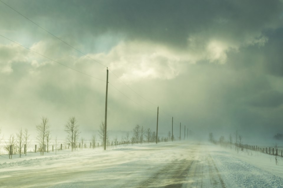
Snow and local blowing snow expected today.
Snow is expected to move in from the south late this morning and continue into this evening. Total snowfall amounts of 10 to 15 cm are possible.
Local blowing snow is also likely this afternoon and evening in exposed areas.
Poor winter travelling conditions are likely. Motorists should allow extra time to reach their destination.
Please continue to monitor alerts and forecasts issued by Environment Canada. To report severe weather, send an email to [email protected] or tweet reports using #ONStorm.
Winter storm warning in effect for:
- Kirkland Lake - Englehart
- Temiskaming Shores - Temagami
A winter storm with heavy snow and blowing snow today.
Snow, heavy at times, is expected to move in from the south this morning and continue into this evening. Northeasterly winds gusting to 50 km/h will also produce blowing snow especially in exposed areas.
Total snowfall amounts of 15 to 25 cm are likely by this evening.
Consider postponing non-essential travel until conditions improve. Surfaces such as highways, roads, walkways and parking lots may become difficult to navigate due to accumulating snow. Visibility may be suddenly reduced at times in heavy snow. If visibility is reduced while driving, turn on your lights and maintain a safe following distance.
Please continue to monitor alerts and forecasts issued by Environment Canada. To report severe weather, send an email to [email protected] or tweet reports using #ONStorm.


