WEATHER ALERT
ENVIRONMENT CANADA
*************************
Snowfall warning in effect for:
- Kirkland Lake - Englehart
- Temiskaming Shores - Temagami
Significant snowfall expected Tuesday into Wednesday.
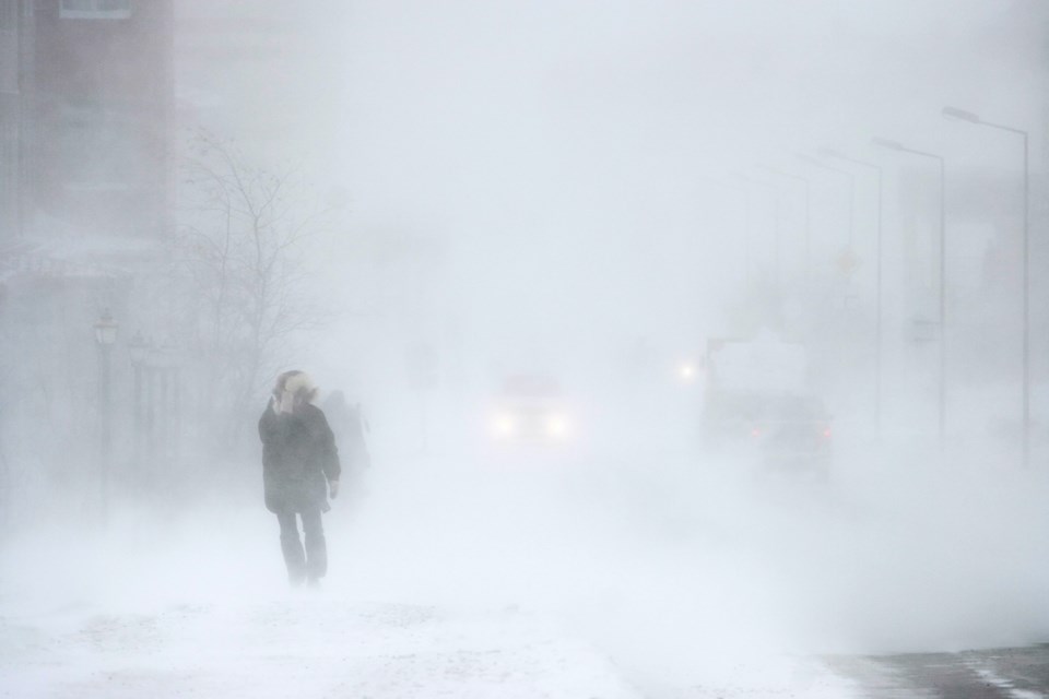
Snow, heavy at times, and blowing snow will begin early Tuesday morning and continue into Wednesday. Snowfall amounts of 20 to 30 centimetres are expected before the snow weakens Wednesday afternoon.
Falling snow, along with wind gusts up to 70 km/h will allow for blowing snow to occur and significantly affect visibilities Tuesday and Tuesday night.
This snowfall is the result of a strengthening low pressure system expected to move through eastern Ontario into Quebec Tuesday into Wednesday.
Visibility may be suddenly reduced at times in heavy snow. Surfaces such as highways, roads, walkways and parking lots may become difficult to navigate due to accumulating snow. If visibility is reduced while driving, turn on your lights and maintain a safe following distance.
Snowfall warnings are issued when significant snowfall is expected.
Please continue to monitor alerts and forecasts issued by Environment Canada. To report severe weather, send an email to [email protected] or tweet reports using #ONStorm.
**************************


