ENVIRONMENT CANADA
*************************
Winter storm warning in effect for:
- Little Abitibi - Kesagami Lake
- Timmins - Cochrane - Iroquois Falls
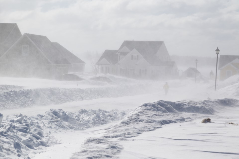
A major winter storm is expected.
A slow moving weather system approaching from southwest of the Great Lakes is expected to bring winter storm conditions today through Monday night.
Snow has begun near the eastern shores of Lake Superior and will spread northeastward through tonight.
Significant snowfall accumulations of 20 to 30 cm as well as brisk winds gusting up to 50 km/h will result in localized blowing snow and difficult travel conditions today through Monday.
Environment Canada will continue to closely monitor this situation and provide further updates as the storm evolves.
Consider postponing non-essential travel until conditions improve. Surfaces such as highways, roads, walkways and parking lots may become difficult to navigate due to accumulating snow.
Winter storm warnings are issued when multiple types of severe winter weather are expected to occur together.
Please continue to monitor alerts and forecasts issued by Environment Canada. To report severe weather, send an email to [email protected] or tweet reports using #ONStorm.

