ENVIRONMENT CANADA
*************************
Special weather statement in effect for:
- Timmins - Cochrane - Iroquois Falls
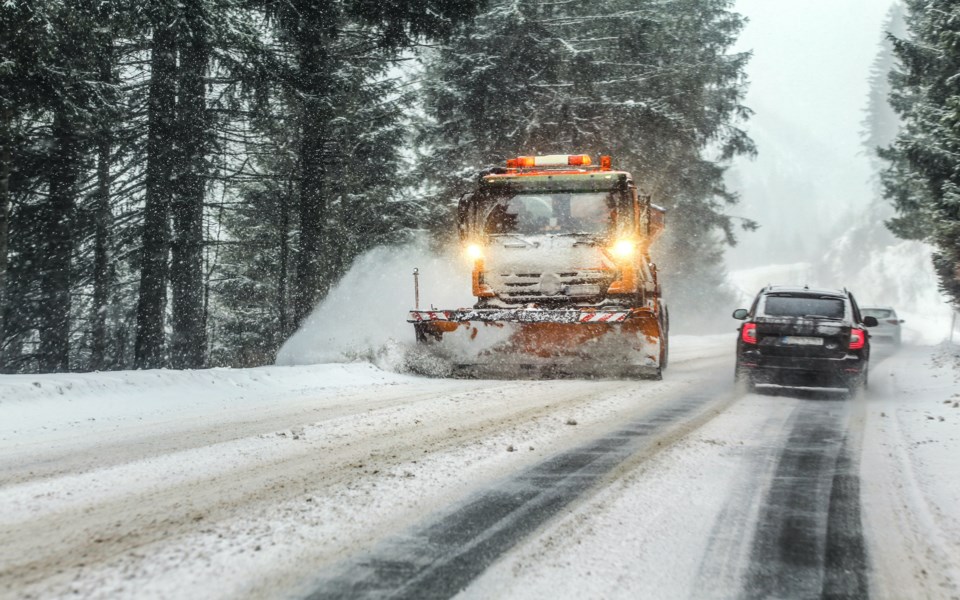
Snow expected this afternoon into tonight.
Snow is forecast to begin this afternoon as a strong low-pressure system tracks south of the area. The snow will then continue into this evening before tapering to flurries overnight or early Sunday.
Total snowfall accumulations of 5 to 10 cm are expected. Higher snowfall amounts are possible should this low-pressure system track slightly farther north.
- Chapleau - Missinaibi Lake
- Gogama - Foleyet
- Temiskaming Shores - Temagami
Significant snowfall today and tonight.
Snow will become heavy this afternoon into this evening. Total snowfall accumulations of 15 to 25 cm can be expected by the time the snow tapers to flurries Sunday morning.
Local blowing and drifting snow can also be expected overexposed areas this afternoon and this evening.
Prepare for quickly changing and deteriorating travel conditions. Visibility may be suddenly reduced at times in heavy snow.
Special weather statement in effect for:
- Kirkland Lake - Englehart
Snow expected this afternoon into tonight.
Snow is forecast to begin this afternoon as a strong low-pressure system tracks south of the area. The snow will then continue into this evening before tapering to flurries overnight or early Sunday.
Total snowfall accumulations of 5 to 10 cm are expected. Higher snowfall amounts are possible should this low-pressure system track slightly farther north.
Please continue to monitor alerts and forecasts issued by Environment Canada. To report severe weather, send an email to [email protected] or tweet reports using #ONStorm.
*************************

