WEATHER ALERT
ENVIRONMENT CANADA
**********************
Extreme Cold Warning in effect for:
- Little Abitibi - Kesagami Lake
- Timmins - Cochrane - Iroquois Falls
A period of very cold wind chills is expected.
What:
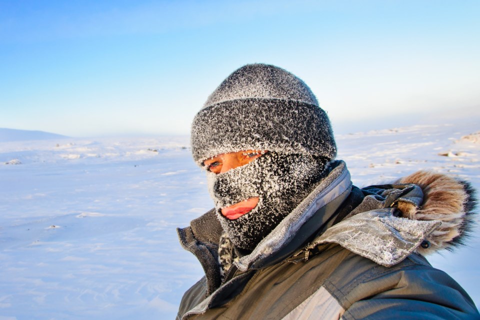
Wind chill values between minus 40 and minus 45.
When:
This evening through Friday morning. Similar conditions are expected to return Friday night into Saturday morning.
Discussion:
Bitterly cold arctic air will begin to flood across the area this afternoon or evening. Minimum temperatures in the minus thirties combined with moderate winds will bring wind chill values between minus 40 and minus 45.
Extreme cold puts everyone at risk.
Watch for cold related symptoms: shortness of breath, chest pain, muscle pain and weakness, numbness and colour change in fingers and toes.
Dress warmly. Dress in layers that you can remove if you get too warm. The outer layer should be wind resistant.
Cover up. Frostbite can develop within minutes on exposed skin, especially with wind chill.
If it's too cold for you to stay outside, it's too cold for your pet to stay outside.
Please continue to monitor alerts and forecasts issued by Environment Canada. To report severe weather, send an email or tweet reports using #ONStorm.
**********************


