ENVIRONMENT CANADA
*************************
Snowfall warning in effect for:
- Little Abitibi - Kesagami Lake
- Fraserdale - Pledger Lake
- Kapuskasing - Hearst - Smooth Rock Falls
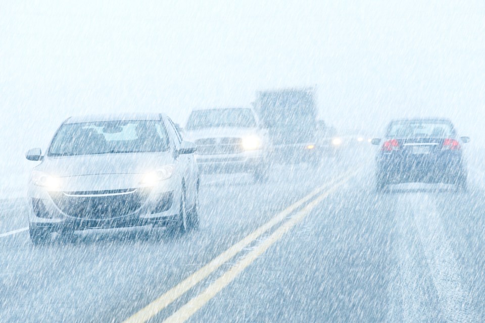
Heavy snowfall likely tonight into Tuesday. Up to 20 cm possible.
Snow is forecast to begin late this afternoon or evening over the area. The snow is expected to become heavy at times tonight as temperatures fall rapidly and winds increase. Snowfall rates of a few centimetres per hour are possible at times. This snow will continue into Tuesday but should slowly taper off as the day progresses. Snowfall amounts in the 15 to 20 cm range look likely.
The heavy snow will combine with strong northerly winds gusting up to 50 km/h resulting in some blowing snow, particularly over open areas.
Prepare for quickly changing and deteriorating travel conditions. Visibility may be suddenly reduced at times in heavy snow. Surfaces such as highways, roads, walkways and parking lots may become difficult to navigate due to accumulating snow.
Please continue to monitor alerts and forecasts issued by Environment Canada. To report severe weather, send an email to [email protected] or tweet reports using #ONStorm.
*************************


