MINISTRY OF NATURAL RESOURCES AND FORESTRY
***************************
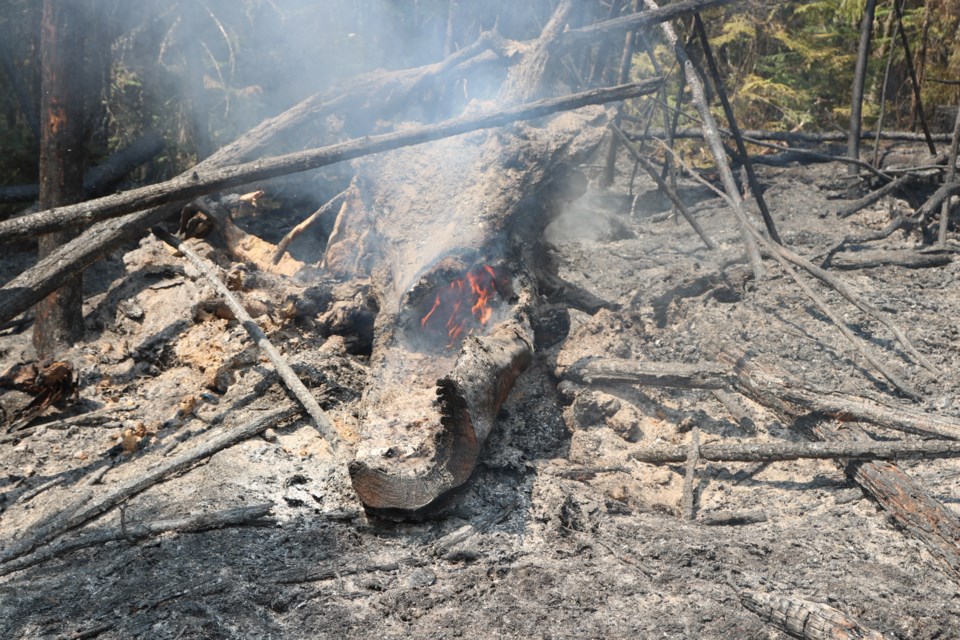
Northeast Fire Region
There were no new fires in the Northeast Region by late afternoon today.
At the time of this update, there is one wildland fire in the region.
- Timmins 2 was remapped and is now listed at 4,645 hectares, its status is “not under control”
- The fire remains approximately four kilometres west of the community of Gogama
At the time of this update, the fire hazard is low to moderate across most of the Northeast.
Update to travel restrictions in parts of Timmins District imposed by MNRF Timmins District due to forest fire
Pursuant to the Emergency Area Order signed June 11, 2019, an Implementation Order has been issued by the Ministry of Natural Resources and Forestry prohibiting access and travel in portions of Timmins District where there are public safety hazards as a result of fire activity from Timmins #002.
The Order restricts travel, access and use in an identified area and may be modified regularly to reflect changing fire conditions.
This measure has been put in place to ensure public safety while allowing fire personnel to safely and effectively suppress the fires in the identified area.
All travel and use of Jack Road from the intersection of Jack Road and Highway 144, westerly to the Ontario Power Generation Mesomekenda Lake Dam, at Mesomekenda Lake is prohibited.
All use and occupation of Crown Land or within 500 metres of the described closed roads within this area is prohibited.
If a member of the public believes that access within the restricted travel area is necessary for non-recreational purposes, please call 705-235-1334 to request a travel authorization permit. MNRF will review the request for access based on the rationale provided, local fire activity, and the potential fire risk.
See the restricted travel and access areas on the PDF map attached (Note: this map gets updated regularly).
More Information
For updates on highway closures, check Ontario511 or @OPPCommunicationsNER on Twitter, and Ontario Provincial Police-Northeast Region on Facebook.
For information about the current forest fire situation: 1-888-220-7242
For updates on the fire situation, visit here or follow us on Twitter @ONforestfires.
To report a forest fire located north of the French and Mattawa rivers, please dial 310-FIRE
***************************


