WEATHER ALERT
ENVIRONMENT CANADA
*************************
Flash freeze warning in effect for:
- Timmins - Cochrane - Iroquois Falls
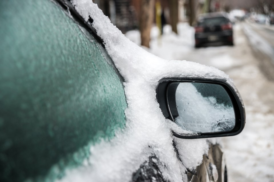
Temperatures are forecast to fall rapidly. Ponding water, slush, and any falling precipitation will freeze as the temperature drops.
Mild and rainy conditions are expected today with locally dense fog patches giving very poor visibility as well.
However, this mild spell will be short-lived as a very strong cold front will cross the area from northwest to southeast today. Following the passage of the cold front, rain will change to snow and there will be a hard freeze as temperatures plummet. There may also be a brief period of freezing rain during the changeover from rain to snow. Snowfall amounts of up to 5 cm or so are possible.
Temperatures will likely drop by 10 to 15 degrees within a few hours after the passage of the cold front.
Surfaces such as highways, roads, walkways and parking lots will become icy, slippery and hazardous.
Flash freeze warnings are issued when a rapid drop in temperature is expected, that can cause water from rain or melted snow on streets and sidewalks to quickly freeze.
Please continue to monitor alerts and forecasts issued by Environment Canada. To report severe weather, send an email to [email protected] or tweet reports using #ONStorm.
*************************
Snowfall warning in effect for:
• Fraserdale - Pledger Lake
• Kapuskasing - Hearst - Smooth Rock Falls
Snowfall, with total amounts of 15 to 25 cm is expected.
Snow at times heavy continues across areas north of Lake Superior and northeastern Ontario.
Total snowfall accumulations of 15 to 25 cm are likely by the time the snow tapers off this evening.
In addition, gusty north winds to 50 km/h will result in areas of blowing snow today.
Surfaces such as highways, roads, walkways and parking lots may become difficult to navigate due to accumulating snow.
Snowfall warnings are issued when significant snowfall is expected.
Please continue to monitor alerts and forecasts issued by Environment Canada. To report severe weather, send an email to [email protected] or tweet reports using #ONStorm.
*************************
Special weather statement in effect for:
• Kirkland Lake - Englehart
• New Liskeard - Temagami
Significant January thaw with fog and rain today. Rain changing to snow tonight with a hard freeze.
With the mild temperatures over the existing snowpack, dense fog patches are likely across much of northeastern Ontario today. Visibility may occasionally be reduced to near zero.
Periods of rain are also expected, particularly later this afternoon and into tonight. Average rainfall amounts are likely to be below the winter rainfall warning criteria of 25 mm in 24 hours. However, the criteria may be approached or reached in some places. Environment Canada will monitor this situation closely.
A very strong cold front will cross Northeastern Ontario tonight. The front will reach the eastern shore of Lake Superior early this evening and track eastward through the night reaching the North Bay area a few hours before dawn.
Following the passage of the front, rain will change to snow and there will be a hard freeze as temperatures plummet. There may also be brief freezing rain during the changeover.
Please continue to monitor alerts and forecasts issued by Environment Canada. To report severe weather, send an email to [email protected] or tweet reports using #ONStorm.
*************************


